← All work
Independent prototype · Proposal and validation

Eden Wayfinder

A landmark-led wayfinding prototype for Eden Shopping Centre, built around known entrances, recognisable landmarks and the routes visitors already ask staff to explain.
Year
2026
Role
Product strategy, design and engineering
Type
Systems · Digital experiences
  • Product thinking
  • Working prototype
  • Mapping and routing
  • Accessibility
Full site ↗
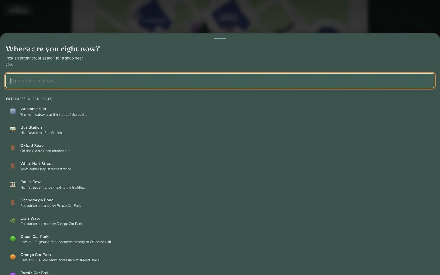
Eden Wayfinder destination and entrance selection interface on desktop.

Status note
Independent prototype developed around Eden Shopping Centre. It is not an official or live Eden service.

Context

Eden is a large, multi-level shopping centre with several entrances, car parks and a bus station. Visitors regularly ask staff for directions, yet indoor GPS is unreliable and static maps still leave people to work out the journey themselves.

The problem

Staff repeatedly explain the same routes, while visitors can lose confidence and the centre gains little usable information about which destinations or decisions cause the most difficulty.

Constraints

  • The experience cannot rely on dependable indoor GPS or beacon infrastructure
  • Routes need to begin from known entrances, car parks and landmarks
  • Future versions must support step-free choices and accessibility needs
  • The prototype uses mapped information rather than an official live data feed
  • Any in-centre pilot requires stakeholder approval

Key decisions

Start from a place the visitor can confirm

A QR code at an entrance or landmark gives the route a reliable starting point without asking the phone to guess where it is indoors.

Write directions around things people can see

Routes move through recognisable landmarks, so each step can be checked against the real environment.

Let search reveal what visitors need

Search helps someone find a destination in the moment and could also show which places cause the most repeated questions.

Test the idea before asking for a full rollout

The working prototype gives staff and stakeholders something concrete to try before committing to public infrastructure.

Evidence so far

Pilot planned

  • Pilot planned. A supervised trial can measure interest, route completion, confidence and whether people understand the directions.
  • Demand signal prepared. Anonymised search activity is planned as a way to see which destinations and information gaps appear most often.

Where it stands

The prototype currently maps 107 units, entrances, car parks and the bus station, with destination search and landmark-led routing. It is being used in proposal and evidence-gathering discussions.

Next move: Run a supervised trial with staff-assisted sharing, then review route completion, confidence and repeated destination demand before considering a public rollout.

  • VIPONSSI V2 camera startup at the desktop breakpoint.
    VIPONSSI V2 camera startup at the mobile breakpoint.
    Desktop and mobile interface previews
    Client project · In progress

    VIPONSSI

    The brand needed a digital presence with the same point of view as the clothes.

    Digital experiencesIdentity-led digital experience
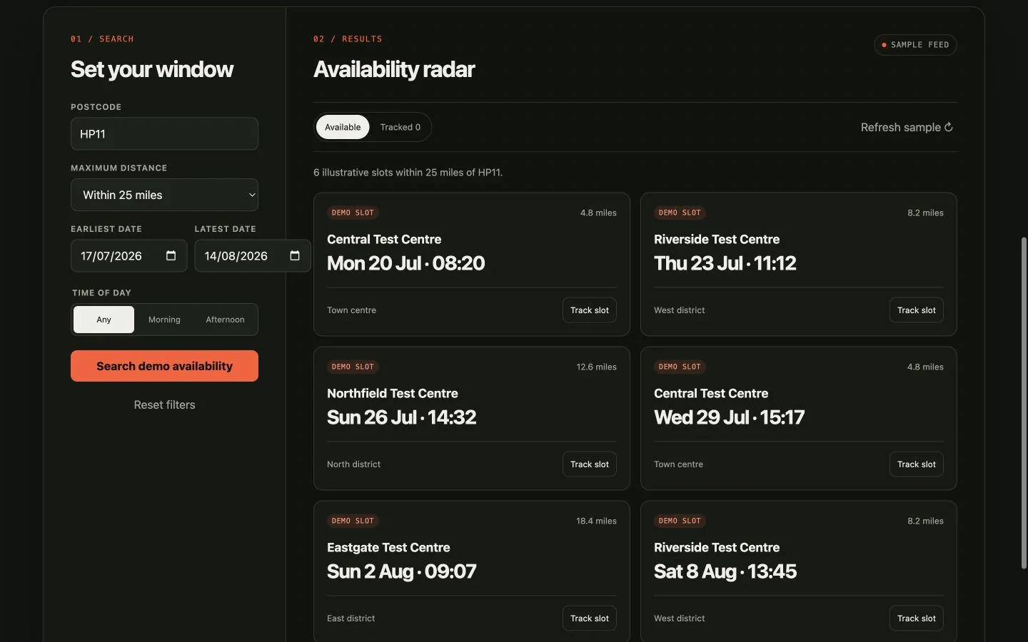
  • TestSlot Radar responsive demo showing availability filters and illustrative slots on desktop.
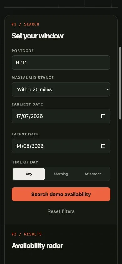
    TestSlot Radar responsive demo showing the mobile availability filter interface.
    Desktop and mobile interface previews
    Streetline product · In development

    TestSlot Radar

    Suitable dates appear unpredictably and can disappear before a learner sees them.

    ProductsConsumer web application

Facing a similar constraint?

Explain what is happening now and where the current setup falls short.